Have A Glimpse Of Krubera Cave, The Deepest Cave In The World!
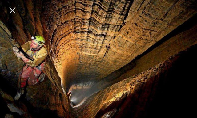
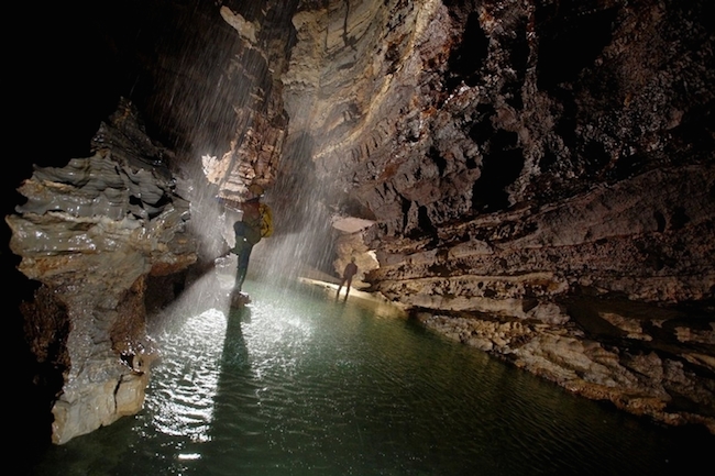
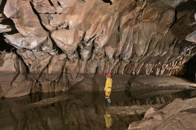
The cave, known as Krubera-Voronya, is considered the “Everest of the caves”. The total length of cave passages reaches 13,232 m, the depth is -2,197 m. It’s located in Abkhazia (Georgia) near the Black Sea.
The difference in elevation of the cave’s entrance and its deepest explored point is 2,197 ± 20 metres (7,208 ± 66 ft). It became the deepest-known cave in the world in 2001 when the expedition of the Ukrainian Speleological Association reached a depth of 1,710 m (5,610 ft) which exceeded the depth of the previous deepest-known cave, Lamprechtsofen, in the Austrian Alps, by 80 metres (260 ft).
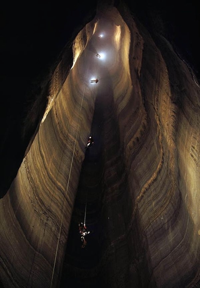
In 2004, for the first time in the history of speleology, the Ukrainian Speleological Association expedition reached a depth greater than 2,000 metres (6,600 ft), and explored the cave to −2,080 m (−6,824 ft).
The Ortobalagan Valley extends along the crest of the Berchil’sky anticline, which gently dips northwest. The cave entrances are aligned along the anticlinal crest, but the caves are controlled by longitudinal, transverse, and oblique fractures and faults and comprise complex winding patterns in the plan view, remaining largely within and near the anticlinal crest zone.
The caves are predominantly combinations of vadose shafts and steep meandering passages, although in places they cut apparently old fossil passages at different levels (e.g., at −2,100–2,040 m (−6,890–6,690 ft) in Kujbyshevskaja and Krubera caves, −1,200–1,240 m (−3,940–4,070 ft) and −980–1,150 m (−3,220–3,770 ft) in the non-Kujbyshevskaja branch of Krubera Cave, etc.).
The deep parts of Krubera display a more pervasive conduit pattern with a mixture of phreatic morphology, characteristic of the zone of high-gradient floods, which can be up to 400 m above the low-flow water table, and vadose downcutting elements that are observed even below the water table.
The core part of the Arabika Massif is composed of the Upper Jurassic succession resting on the Bajocian Porphyritic Series, which includes sandstones, clays and conglomerates at the top, and tuff, tuff sandstones, conglomerates and breccia, porphyry and lava.
The Porphyritic series forms the non-karstic basement of Arabika, which is exposed only on the northern and eastern outskirts, locally in the bottoms of the Kutushara and Gega River valleys.
In the central part of Arabika the Cretaceous cover (Valanginian and Hauterivian limestones, marls and sandstones) is retained only in a few ridges and peaks, but it lies intact through the low-altitude ridges to the south-west of the central part. There the Cretaceous succession includes Barremian and Aptian–Cenomanian limestones and marly limestones with abundant concretions of black chert.
The Upper Jurassic succession begins with thin-bedded Kimmeridgian–Oxfordian cherty limestones, marls, sandstones and clays, which are identified in the lower part of Krubera Cave. Above lies the thick Tithonian succession of thick-bedded limestones with marly and sandy varieties. Sandy limestones are particularly abundant through the upper 1,000 m sections of deep caves of the Ortobalagan Valley.
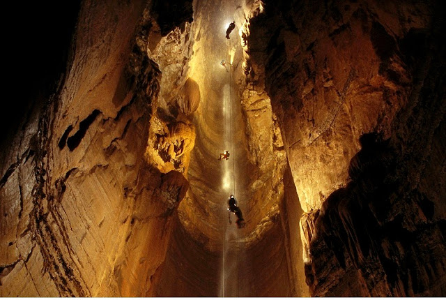
Krubera-Voronya
Major on-shore karst springs with individual average discharges of 1 to 2.5 m3/s (35 to 88 cu ft/s) are located at altitudes ranging from 1 m (3.3 ft) (Reproa Spring) to 540 m (1,770 ft) (Gega waterfall). Two of them are located in the shore area; these are Reproa (average discharge 2.5 m3/s or 88 cu ft/s; altitude 1 m or 3 ft 3 in above sea level) and Kholodnaja Rechka (1.2 m3/s or 42 cu ft/s; 50 m or 160 ft a.s.l.).
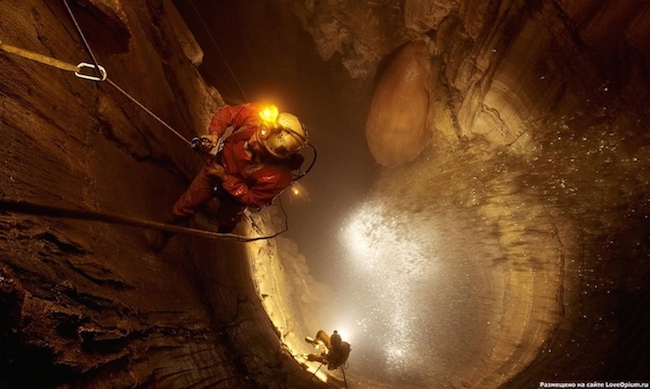
Two more major springs are located in the river canyons bordering Arabika to the east: Goluboe Ozero in the Bzyb canyon (2.5 m3/s or 88 cu ft/s; 90 m or 300 ft a.s.l.) and Gega waterfall in the Gega canyon (1 m3/s or 35 cu ft/s; 540 m or 1,770 ft a.s.l.). There are also several smaller springs in the Gagra town. The Reprua River, one of the shortest rivers in the world, about 60 ft long, starts in the cave and flows toward the Black Sea.
Some boreholes located along the shore of the Black Sea yield karstic groundwater from depths of 40–280 m below sea level. Other much deeper boreholes tapped low-salinity karstic waters at depths of 500 and 1,750 m in the Khashupse Valley near Tsandripsh and 2,250 m near Gagra. This suggests the existence of a deep karst system and vigorous karst groundwater circulation at depth.
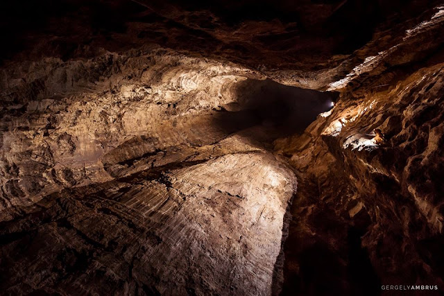
Photo credit: Gergely Ambrus photography
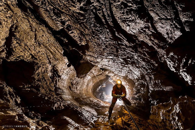
Photo credit: Gergely Ambrus photography
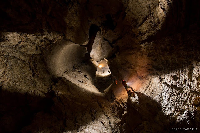
Photo credit: Gergely Ambrus photography
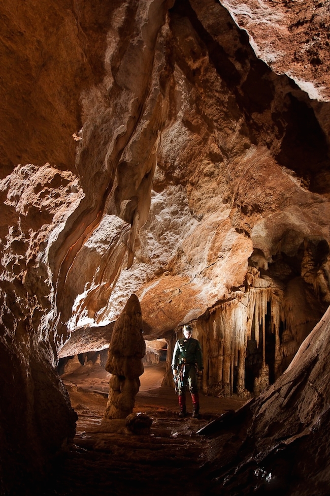
Watch this short film about Ukranian speleologists embarking on a Krubera Cave expedition.

